Accessible Solutions for Travelers Who are Blind

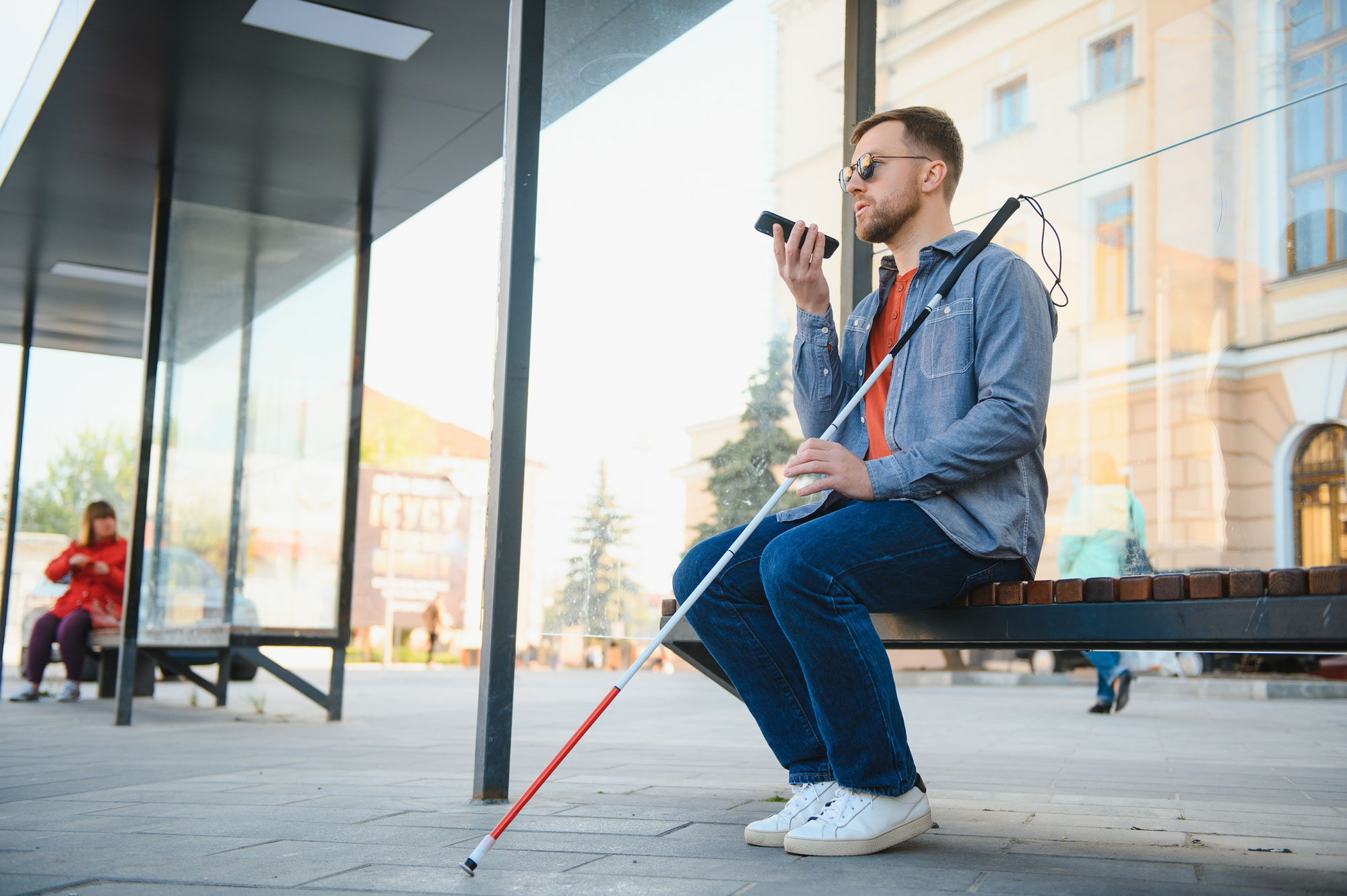
In today’s world, technology has opened new possibilities for people who are blind to navigate their surroundings independently.
Accessible solutions for travelers who are blind or visually impaired have come a long way, thanks to advancements in technology. From low-tech techniques and tactile maps to high-tech GPS apps, individuals with visual impairments now have a range of tools and resources to enhance their travel experience. It is crucial to combine these applications with traditional orientation and mobility skills to ensure safe and independent navigation. With ongoing developments and user feedback, the future holds even more promising solutions for blind and visually impaired travelers.
Low-Tech Solutions
Low-tech solutions combined with modern technology offer significant benefits to enable accessible travel. Traditional orientation and mobility skills are an important foundation, and it is recommended to develop a solid understanding of these fundamentals before incorporating additional technological aids. Some examples of low-tech options include mastering cane skills, utilizing other senses for navigation, and employing tactile maps or diagrams. A notable tool is Touch Mapper, a web-based resource that generates maps based on addresses. It provides versatile printing options, allowing users to obtain maps in various formats such as PDF, Braille, or 3D printing.
High-Tech Solutions – Apps for Travelers Who are Blind
There are also higher tech solutions to aid travelers who are blind or visually impaired, such as apps that can be downloaded through smartphones.
OKO – AI Copilot for the Blind
OKO – AI Copilot for the Blind utilizes the rear-facing camera of a smartphone. It replicates the chirping sound heard at crosswalks, indicating when it’s safe to cross. The app alerts users through vibrations or chirping sounds when the light indicates that that it is safe to cross. It also offers haptic feedback for individuals who are DeafBlind.
Blind Square
Blind Square utilizes Foursquare data to provide audio-guided information about points of interest and street names. It offers a unique “look around” feature that announces nearby intersections and points of interest as the phone is moved in different directions. Users can also search for specific categories, such as food, and obtain detailed information about particular places, including menus and phone numbers. The app provides turn-by-turn directions to destinations, making it a valuable tool for independent navigation.
Good Maps Outdoors
Good Maps Outdoors, formerly known as Seeing Eye GPS, offers similar features to Blind Square. In addition, it includes turn-by-turn directions for pedestrians, cyclists, and drivers. It also integrates with the Aira service, providing access to remote visual assistance.
Compared to other GPS apps designed for blind and visually impaired individuals, Good Maps Outdoors has detailed intersection descriptions, and turn announcements.
Seeing AI
The Seeing AI app enables indoor navigation. The app allows users to set up routes by capturing the surroundings of the starting point. Distinguishing characteristics can be captured and descriptive names and notes can be added.
This post was adapted from one of our recent webinars. Watch the webinar recording on our YouTube channel >>
We’re Leaders in Blind Employment – View Our Open Positions and Apply Today!
The Lighthouse for the Blind, Inc. transforms the lives of people who are blind, Deafblind, and blind with other disabilities. We are leaders in blind employment. Through employment opportunities, we are a catalyst for empowerment. We foster self-confidence and instill a life changing affirmation that independence is possible. From our expertise in cutting-edge technology to our understanding of mobility, we help people who are blind, Deafblind, and blind with other disabilities live fulfilling lives.


